Rayn
700 m of orogenic quartz veining and a 2.5 km copper-gold corridor to 1.5% Cu.
Target delineation Orogenic Al Amar · AA-002
At a glance
Scale and setting
- Project area
- Al Amar
- Licences
- AA-002
- Deposit style
- Orogenic copper-gold
- Stage
- Target delineation
- Access
- Immediately off the highway
Target
Two trends on one licence
Rayn hosts orogenic quartz veining along the contact of an intrusion with its host rocks on the western side of the licence, and a separate copper-gold corridor on the eastern side.
Multiple samples on the eastern side return more than 1% Cu, to a peak of 1.5% Cu. The copper-gold association at surface over a 2.5 km corridor suggests a proximal mineralising source.
700 m
Orogenic quartz veining mapped, western side
2.5 km
Copper-gold corridor, eastern side
1.5%
Cu, peak rock chip
AA-002
Single licence, Al Amar project
Work completed
What we have done
- First-pass geological mapping and rock-chip sampling across both trends.
- Structural interpretation of the intrusive contact on the western side.
Results
What the work has returned
- Approximately 700 m of orogenic quartz veining mapped along the intrusive contact.
- A copper-gold corridor approximately 2.5 km long on the eastern side of the licence, with numerous samples above 1% Cu and a peak of 1.5% Cu.
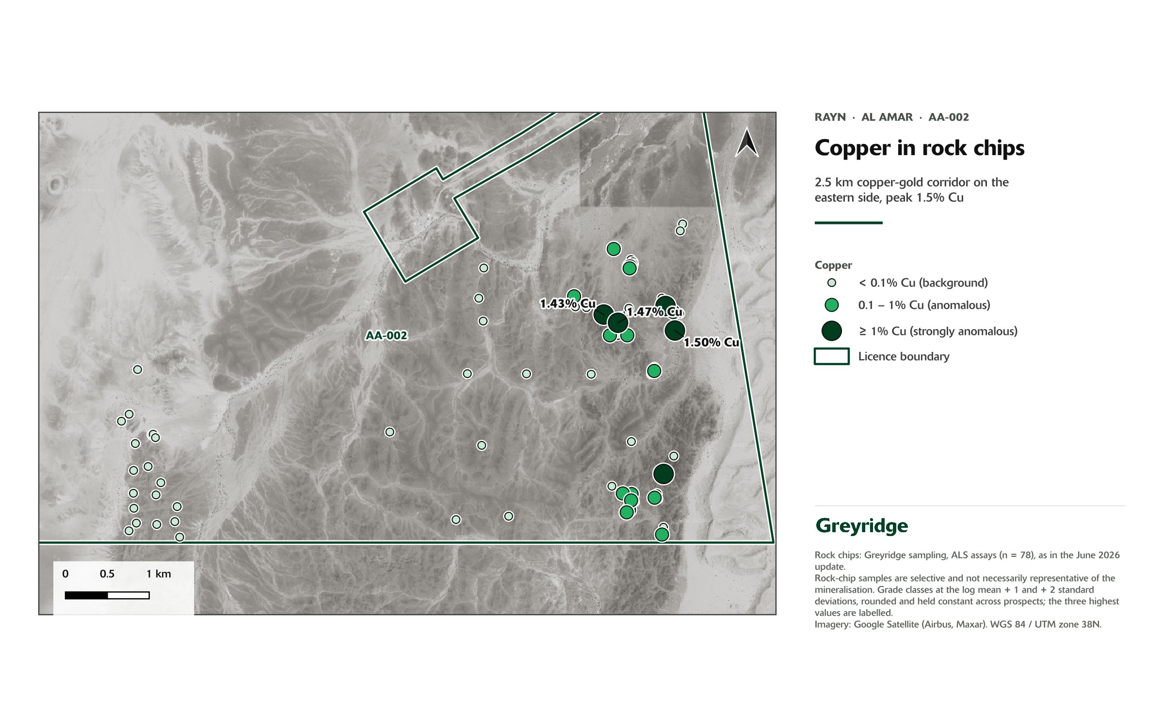
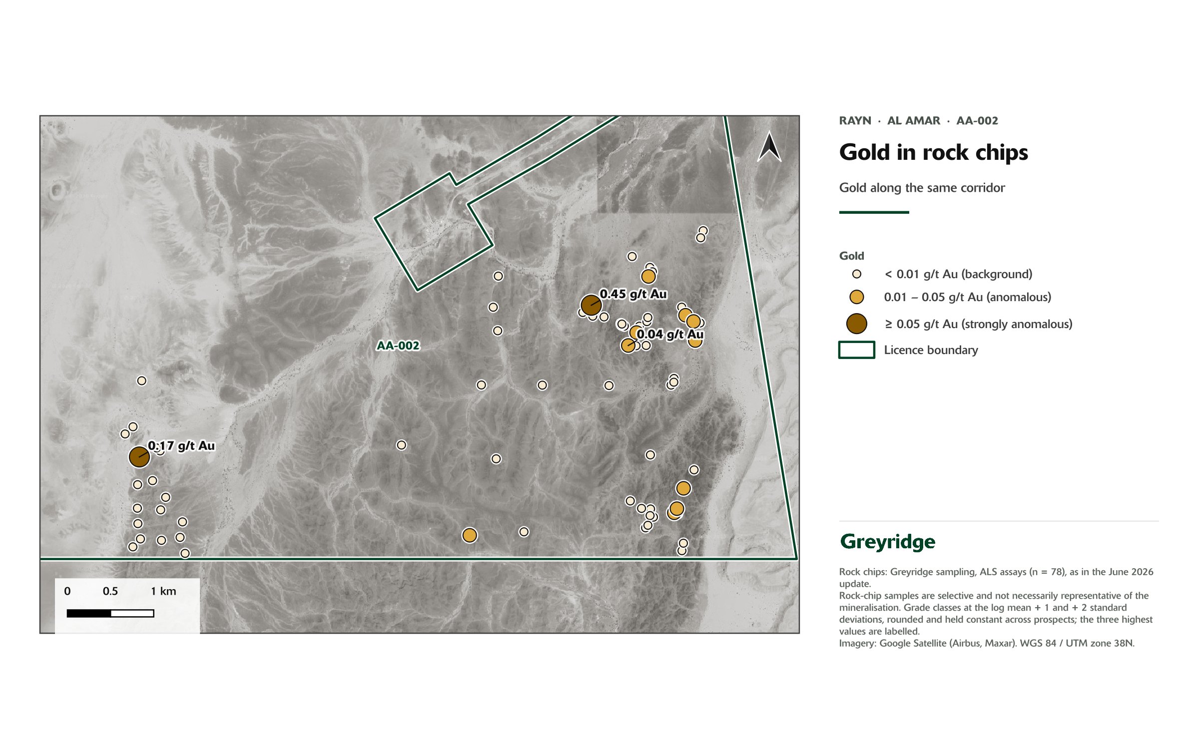

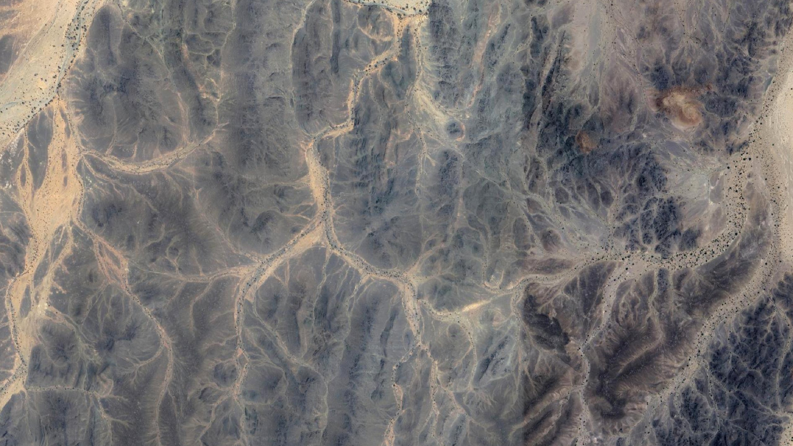
Rock chip, channel and trench sample results are selective in nature and are not necessarily representative of the mineralisation hosted on the licences. Header image: satellite imagery, Google (Airbus, Maxar).
Next steps
Defining the geometry
- Infill sampling and structural mapping across the eastern corridor.
- Ground induced polarisation and magnetics to define geometry at depth.
Updated 23 October 2026