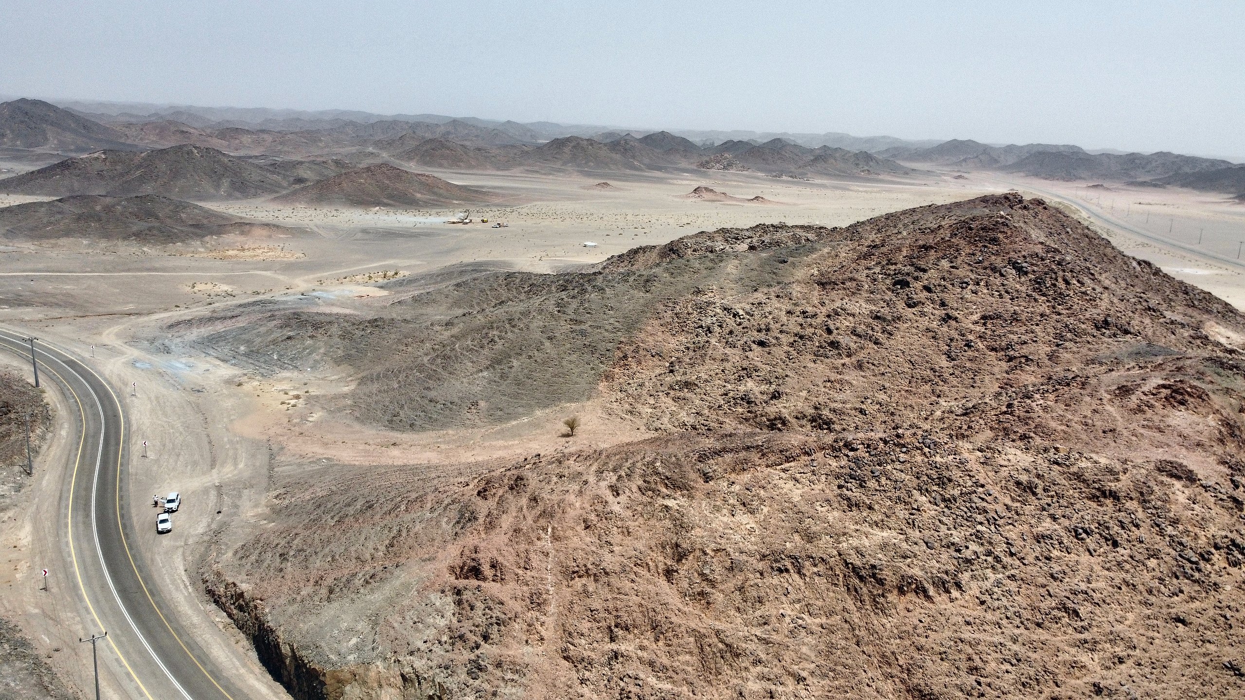
25 licences. 1,817 km².
Eight prospects.
Three project areas across the endowed belts of the Arabian Shield, with exposure to copper-gold porphyry, epithermal gold, orogenic gold, skarn and VMS systems.
Portfolio
Three project areas, one thesis
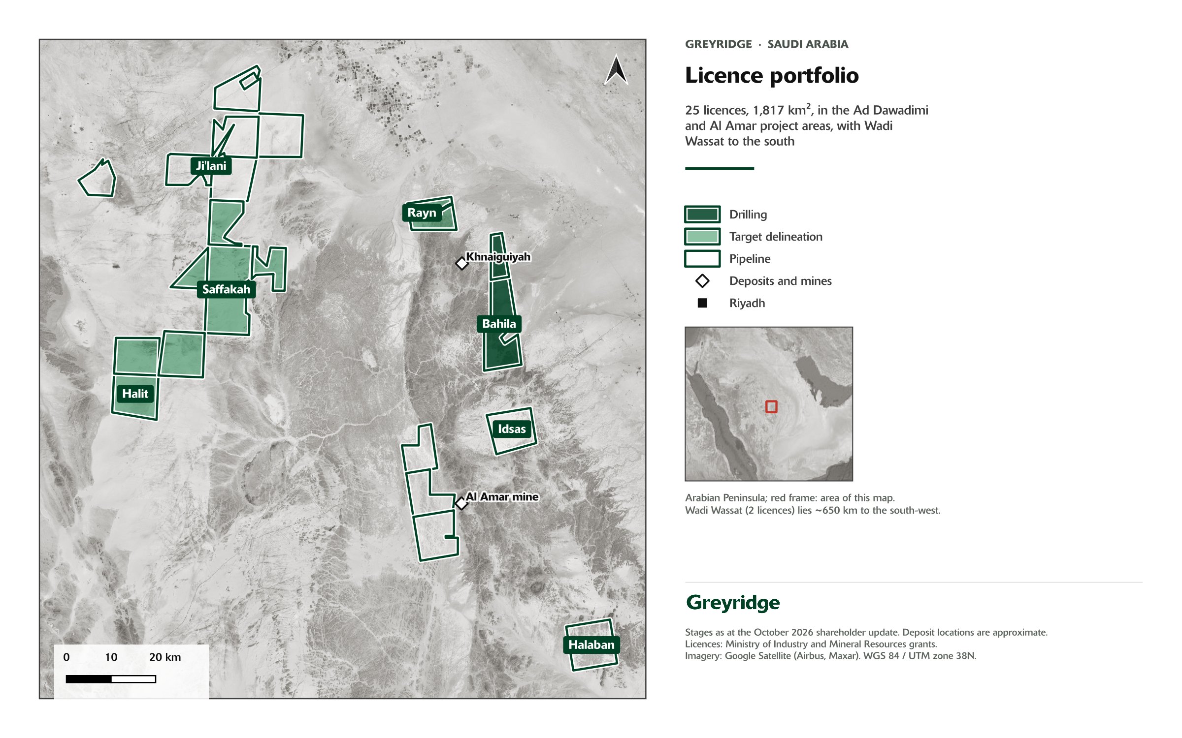
The ground was assembled through the acquisition of Eurasian Resources Group’s Saudi platform in October 2024, before competition for Saudi exploration licences reached current levels. New entrants across the tender rounds since October 2024 have secured less prospective ground at materially higher expenditure commitments.
Interactive
Where we sit in Saudi Arabia
Select any point for its operator, commodity, stage and relationship to the Greyridge portfolio.
Select a point
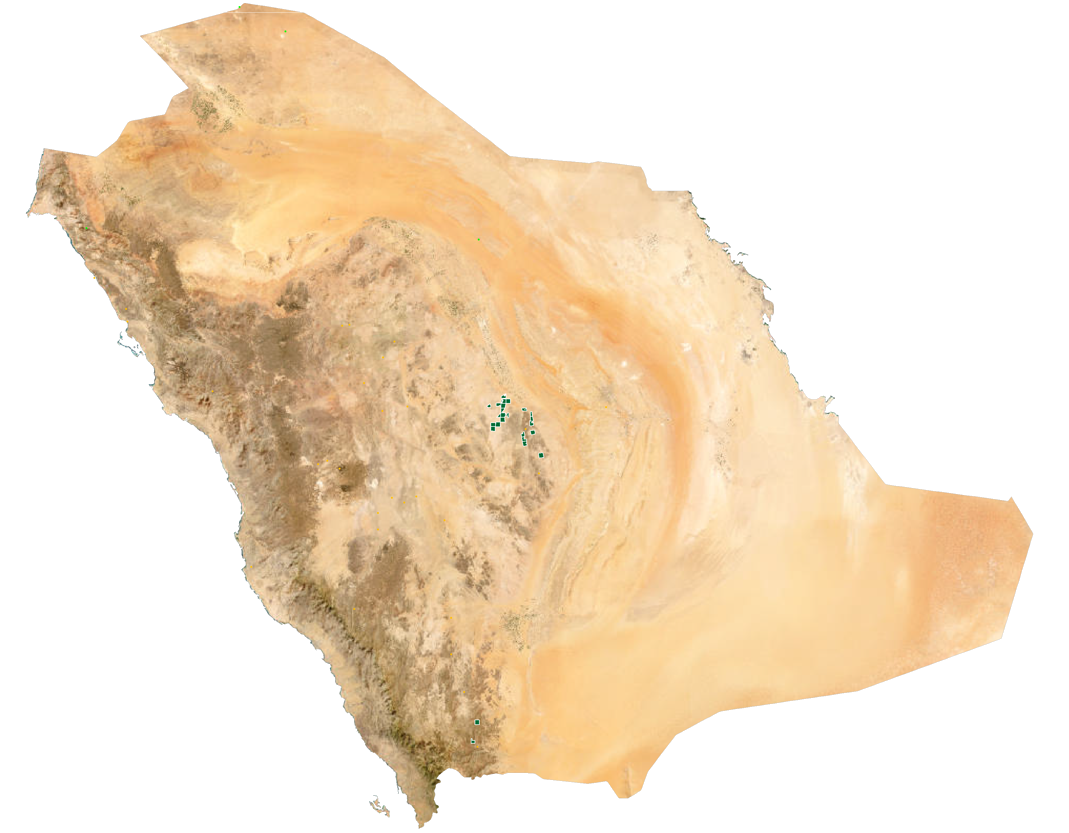
Greyridge holds three project areas across the Arabian Shield, sitting on belts that already host producing mines and a zinc-copper deposit now in construction.
- Licences
- 25
- Area
- 1,817 km²
- Ownership
- 100% Greyridge
Positions are indicative. Licence blocks are shown at project-area scale; refer to the project maps for licence-level detail. Third-party operations are shown for geological context only.
How we advance ground
Every prospect, by stage
Prospects advance systematically from early conceptual work through to drill testing. Eight prospects across twenty-five licences.
Reached following successful drill results
Licences share the prefix of their project area and are listed once. Stage assignments reflect the Company’s internal stage-gated framework. Deposit styles are interpretations based on surface geology, geochemistry and geophysics and have not been confirmed by drilling except where stated.
Concepts
Earliest-stage holdings under initial geological interpretation.
Proof of concept
A defined exploration thesis supported by geological, geochemical or geophysical evidence.
Prospect delineation
A mineralised system identified, with work underway on its geometry, extent and controls.
Target delineation
Specific drill targets being defined through integrated datasets.
Target testing
Defined targets ready for the drill bit.
Advanced exploration
The stage to which the highest-priority projects advance following successful drill results.
Dataset
What sits behind the targets
Greyridge targets are built from surface geochemistry, ground and airborne geophysics, remote sensing and structural mapping, integrated and then, increasingly, tested against machine-learning prospectivity models built with VRIFY’s DORA platform.
Simcoe Geoscience completed a 104 line-kilometre induced polarisation survey over about 20 km², which in3D Geoscience independently re-inverted. Magnetics, IP and surface work define the four drill targets. A ground radiometric survey is being completed.
425 km² of ground magnetic survey across six Ad Dawadimi licences, delivered by Argas and integrated with surface geochemistry to refine drill targeting at Saffakah and Halit.
Results as they land
Results from the Bahila drill program will be reported when received and reviewed by the Qualified Person.
Updated 23 October 2026